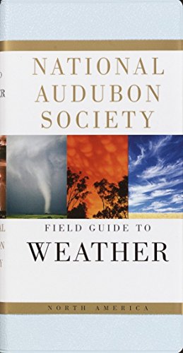
 Reddit reviews National Audubon Society Field Guide to Weather: North America (National Audubon Society Field Guides)
We found 1 Reddit comments about National Audubon Society Field Guide to Weather: North America (National Audubon Society Field Guides). Here are the top ones, ranked by their Reddit score.

Author: National Audubon SocietyISBN#: [Butterflies] 0-394-51914-0, [Mammals of North America] 0-679-44631-1, [Night Sky] 0-679-40852-5, [North America Weather] 0-679-40851-7, [Wildflowers-Western] 0-375-40233-0Publisher: Alfred A. KnopfRecommended Use: hiking & camping
What we see here is a nice solid formation of altocumulus clouds, similar but not to be confused with altostratus clouds. These are puffy water droplet clouds that occur at mid elevations from 6,500ft to 16,000ft, as denoted by the prefix "alto" meaning middle. These clouds are somewhat common and usually accompany larger weather systems and pockets of moisture across long journeys, often lasting for 100s of miles, and are seen year round regardless of season. Here we see altocumulus undulatus, or mackerel sky as other redditors have pointed out. This is a result of really consistent wind patterns across the sky, which leads to this nice patterning of clouds we see here. If they take up a large portion of the sky, that indicates that a fair amount of moisture is present, and if they occur simultaneously with other clouds, that may indicate a large system is inbound, and to possibly expect a significant change in weather.
They form as a result of varying pockets of pressure, primarily with horizontal wind currents. Vertical currents are not present or significant if these clouds are overhead. When pressure changes, it can cause water vapor in the atmosphere to condense on CCN (cloud condensation nuclei, pretty much just reealllyyy fine dust) and form clouds. Because these clouds form at mid elevations they are water droplet clouds, as opposed to colder ice crystal clouds, however if they become too cold they can freeze and turn into an ice based cloud.
If you're interested, I would suggest getting a book/guide similar to this. I have it and use it daily to identify clouds that are over me, how they form, and what they mean. I can now predict the weather fairly accurately just based on clouds a lone (only within the next 24 hrs, but still that's a cool skill to have). Clouds are very complex, but they can be really cool and incredibly foretelling and predicting. If you're outdoors a lot, it's really in invaluable skill to have.