Top products from r/norcalhiking
We found 16 product mentions on r/norcalhiking. We ranked the 12 resulting products by number of redditors who mentioned them. Here are the top 20.
1. Hiking California's Trinity Alps Wilderness: A Guide To The Area's Greatest Hiking Adventures (Regional Hiking Series)
Sentiment score: 0
Number of reviews: 2
 Show Reddit reviews
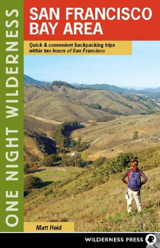
2. One Night Wilderness: San Francisco Bay Area: Quick and Convenient Backpacking Trips within Two Hours of San Francisco
Sentiment score: 2
Number of reviews: 2
Used Book in Good Condition
 Show Reddit reviews
3. Backpacking California: Mountain, Foothill, Coastal and Desert Adventures in the Golden State
Sentiment score: 0
Number of reviews: 1
 Show Reddit reviews
4. Tuleyome's Trails Guide: Yolo and Solano County
Sentiment score: 1
Number of reviews: 1
 Show Reddit reviews
5. Tuleyome's Trails Guide: Colusa and Glenn County
Sentiment score: 1
Number of reviews: 1
 Show Reddit reviews
6. Tuleyome's Trails Guide: Napa and Lake County
Sentiment score: 1
Number of reviews: 1
 Show Reddit reviews
8. Eastern Sierra and Death Valley Camping With Privacy: Your Guide To The Most Private Campsites Near Mammoth Lakes, Tuolumne Meadows, Death Valley, and Beyond
Sentiment score: 1
Number of reviews: 1
 Show Reddit reviews
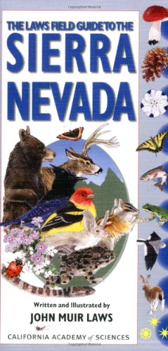
9. The Laws Field Guide to the Sierra Nevada (California Academy of Sciences)
Sentiment score: 1
Number of reviews: 1
Laws Field Guide to the Sierra Nevada The California Academy of Sciences
 Show Reddit reviews
10. Blue Desert SmarTube Hydration System
Sentiment score: 1
Number of reviews: 1
Fits any standard water bottleHands free drinking systemHygienic and Clean40 in. Tube. 63mm Wide Mouth Adapter Included
 Show Reddit reviews
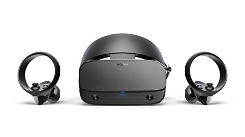
12. Oculus Rift S PC-Powered VR Gaming Headset
Sentiment score: 1
Number of reviews: 1
Top VR gaming library: Blast, slash and soar your way through the top library in VR gaming. Oculus Rift S lets you play hundreds of games and exclusives already available in the Oculus store, with so much more to come.Improved optics: Stare down the competition with next-generation lenses and a shar...
 Show Reddit reviews
Yolo County is at the extreme limits of my day hiking range, so I haven't hiked that many trails up there, and certainly can't claim to know all the trails. But I have a couple of good resources, so let me start with listing them:
First, check out the Tuleyome and Yolo Hiker web sites. Both sites have excellent trails descriptions and maps.
Next, consider hunting down copies of the Tuleyome's Trail Guide series: Yolo and Solano, Napa and Lake, and Colusa and Glenn. I bought all three, and can definitely say they are worth it. They are currently out of print, but you can sometimes find them on places like eBay.
Next, check out the Davis Wiki. They have a bunch of trail descriptions and trip reports, many with photos.
/u/s0rce mentioned AllTrails. It really is an excellent resource, and probably has more Yolo area hikes than any other resource. But, you have give it the right search terms. That's easy for something big like Lake Berryessa, but sometimes it's hard to discover smaller, more isolated stuff when you don't already know what the names are.
The official Yolo County web site does a surprisingly good job of describing trails in Yolo County. It's well worth the read.
Something that a lot of people don't realize is that you can search Yelp for things like hiking. Try The Best 10 Hiking in Yolo County.
That should get you started.
EDIT: I hope you don't mind me peeking at your posting history, but I noticed that you might have a dog. In which case check out the All Trails page for Yolo County on DogTrekker.
I just came back from Trinity and... hot damn... I'm still in shock. What a beautiful place.
First and foremost, I found my way around a weeks worth of hiking without much use of the map. I definitely studied the area intensely, so had a great base of knowledge, but didn't really have to pull the map many times. Just a comment on the nature of the area, the identifiable peaks, valleys, rivers, etc.
Next, I recommend Gaia GPS or a similar app. Allows for offline/airplane mode GPS tracking. You can preupload your tracks (aka find GPS tracks of the trails you want to do) so they are all there for you offline while hiking. The app allows you to real-time track your location over detailed topography maps.
Next, I used the guidebook: https://www.amazon.com/Hiking-Californias-Trinity-Alps-Wilderness/dp/0762741236/ref=sr_1_1?ie=UTF8&qid=1500325959&sr=8-1&keywords=trinity+alps
Made copies to place in a ziplock, as well as took pics with my phone. But just like studying for a test and making a cheat sheet, I was able to navigate the area without much need for further guidance. That being said, the guidebook contains essential information if you're new to the area, such as water sources, where to camp, how to approach when scrambling off trail...
The conditions are perfect there right now!!! Have a great time! I'm still reeling from my experience
For plant and wildlife identification, the John Muir Laws Sierra Nevada field guide is awesome. Great photos, looks like an awesome hike!
I'm not really sure what you are asking or what you mean by athlete but I hate bladders for hiking and hence never use them, due to the following challenges, they are difficult to clean, heavy, expensive. Its also super easy to stop for 5 seconds to take a swig from a water bottle while hiking and if you need water you could probably use a little break anyways, you shouldn't need water every five minutes. They are also very difficult to fill from standing water sources on the trails so you have to carry all your water, often unnecessarily. My small dayback has a sleeve/compartment for a bladder but I just use it to store some clothing or maps or whatever else I need for the day.
If you could somehow solve these issues, although I really cant see how much you can improve on a $1 smartwater bottle, I've seen these products
https://www.amazon.com/Blue-Desert-SmarTube-Hydration-System/dp/B000GM6LWS
but they are still a hassle to clean and don't really solve a problem.
If you are running, mountain biking or skiing this is a different story, in these sports drinking from a water bottle can be cumbersome and then a bladder has some tangible benefit.
Maybe check out this book
https://www.amazon.com/One-Night-Wilderness-Convenient-Backpacking/dp/0899976239/ref=sr_1_1
Lots of good suggestions in there, all in driving distance of the bay area, really great for beginners.
Yeah I agree it's not the most ideal swimming hole, as far as Bay Area goes though it's one of the few that meets the criteria. I went once and took a small blow up float raft, but I won't be going again. I usually drive the few hours toward the Sierras if I really want to swim.
Here is a book you may be interested in: https://www.amazon.com/Swimming-Holes-California-Timothy-Joyce/dp/1490456872
As someone else mentioned Henry coe would work. I'm doing Pt Reyes in a couple weeks and can report back. We're doing a really basic trip there though because I'll be 4 months pregnant so I can't cover a lot of distance at this point. But I need to the time outdoors so I'm going to make it happen.
this book also is great for figuring out options for short trips.
Get yourself a vive using my affiliated link below. Some good games to help you overcome your fear of heights.
​
https://www.amazon.com/Oculus-Rift-PC-Powered-Gaming-Headset-pc/dp/B07PTMKYS7/ref=sr_1_3?keywords=rift+s&qid=1568937947&s=gateway&sr=8-3
When I was last at SMW, July 4 weekend earlier this summer, a critter nibbled on my food container and removed the plastic that holds on the little screws. I would not trust a stuff sack alone. It's not just about bears.